
Trail Info
Walk Around Lake Country Volunteers create Interactive Map of local trails [PDF/264KB]
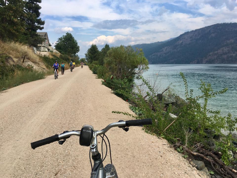
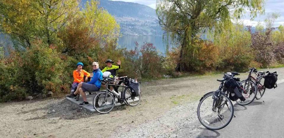
Lake Country offers a variety of trails for walking, hiking and biking, with all levels of accessibility and difficulty. Whether you prefer maintained urban trails to explore neighborhoods, a greener commute or more challenging trails in natural environments, Lake Country has it all.
Use our maps and signage to find the perfect trail for you to enjoy. Download and print a trail map [PDF/4.5MB] of some of the most popular trails developed by WALC.
View Walk Around Lake Country's: Interactive Trail Map
Trail Etiquette
We hope you enjoy exploring the amazing trails Lake Country has to offer and appreciate the beauty that surrounds you. Please keep the trails and surroundings safe and enjoyable for other users and be mindful of the following trail etiquette.
Respect All Users
- Keep dogs on leash
- On shared trails, pedestrians have the right of way
- Pedestrians use caution and yield to bikes if entering on downhill mountain bike trails
Respect Private Property
- Stay on designated trails
Respect the Natural Environment
- Clean up after yourself and pets; use provided trash receptacles
- Do not disturb plants or wildlife
More About our Most Popular Trails


Walk Around Lake Country (WALC)
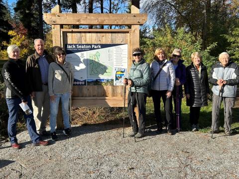
Walk Around Lake Country (WALC) is a small community service organization that has worked collaboratively with the District of Lake Country to develop and promote walking and hiking trails in and around the District since 1999.
With funds from a 2021/22 Canada Healthy Communities Initiative grant, WALC members inventoried, mapped and signed all sanctioned Lake Country trails and created the interactive Lake Country Trails Map (arcgis.com).
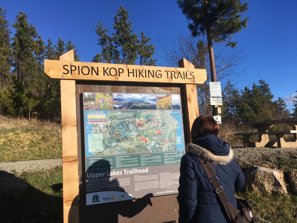
WALC developed the wayfinding for the hiking trails on Spion Kop. WALC's Spion Kop map is found at the four trailheads and at Spion-Kop-Trail-Map.pdf (lakecountry.bc.ca) [PDF/15.9MB].
If you're interested in volunteering to help with maintenance or if you have suggestions, questions or comments about the work done by WALC, please email [email protected].